By Alyssa Weston and Rachel Gobep
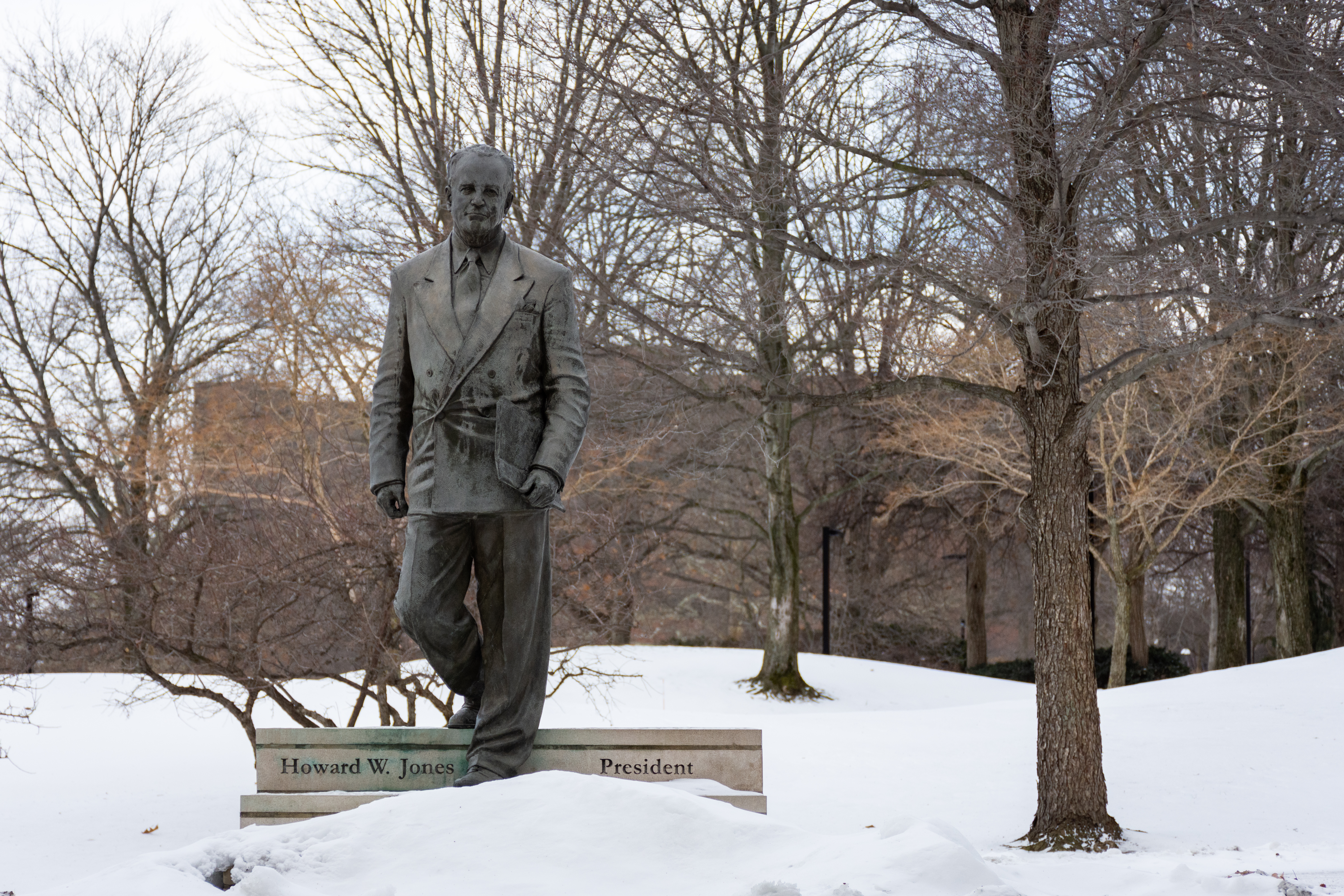
A cold front and consistent snowfall has hit Youngstown since Saturday Jan. 20.
The Weather Channel, although not an official weather agency, called this recent snowstorm “Winter Storm Harper.” Meanwhile, other weather channels and meteorologists do not name winter storms.
This snow storm caused church and business closings, as well as flight and train delays throughout Midwest and Northeast.
In the week following Winter Storm Harper, temperatures continued to decrease, resulting in Youngstown State University canceling classes on Jan. 30 and 31, according to a Penguin Alert.
The National Weather Service issued a wind chill warning for northern Ohio around 4:30 Jan. 29, effective until 4 p.m. Feb. 1.
Ryan Halicki, weeknight meteorologist for 33 WYTV, said it’s not uncommon to get “cold snaps” and major storms in January.
“If we were to break into the top ten snowiest Januarys on record, we would need another over five inches of snow from now to the 31 … which we are not going to get,” he said. “This is largely due to the overall climate patterns that are in place right now.”
Halicki explained that currently there is a Modoki El Niño pattern.
El Niño is the ocean temperature off the coast of South America in the Pacific Ocean, and it looks at the anomaly in that region
“That has a ripple effect on climate across the globe to what is called a teleconnection. So, essentially, because the waters are abnormally warm in these areas, that alters the climate pattern across the globe,” he said.
This results in colder late winters in January and February.
Looking forward into the next week, Halicki predicted a rapid warmup. From Jan. 30 to Feb. 4, a predicted temperature climb of approximately 60 degrees, possibly hitting the 50s on Monday.
Bill Buckler, associate professor in the department of geography, said the polar vortex, also known as a large pocket of cold air, a low pressure system that surrounds the north polar region in the winter time is “nothing new.”
“We’re here in the middle latitudes; we’re sort of in a zone of conflict and battle between armies of cold air to the north and armies of warm air to the south, and often they come together in the mid-latitudes,” he said.
This pattern of cold air could become more frequent in the future, as the polar vortex is the result of the difference in temperature between polar regions and tropical regions, and the greater the difference, the faster and stronger the winds.
Buckler described wind chill as a combination of the temperature, the wind and what temperature you feel against your skin.
“Against your skin, there’s a layer of warm air that’s heated by energy from your body, but the faster the winds that blow on exposed skin –– that hot air is blown away and you start losing energy pretty quick,” he said.
Isabella Orr, a sophomore mathematics education major, said she spent the weekend of Winter Storm Harper inside until her commute to YSU.
Orr said her usual 25 minute drive to campus took 40 minutes on Jan. 22, and another 25 minutes to find parking.
“There were four cars stuck between the light at Lincoln and going into the parking deck going up Fifth Avenue,” she said.
Orr said although she didn’t think the storm was “a big deal,” she thought YSU could’ve better prepared for the snow.
She suggested plowing the roads and salting the sidewalks and parking decks.
To prepare for the cold weather, Halicki suggested wearing the proper clothes that cover extremities (fingers, toes, ears and tip of nose), have cars stocked with jumper cables/blankets and have pets brought indoors.
“The types of wind chills we are looking at are between minus 25 to minus 35 degrees. In those kinds of conditions frostbite is possible in as little as 10 to 15 minutes,” Halicki said.
